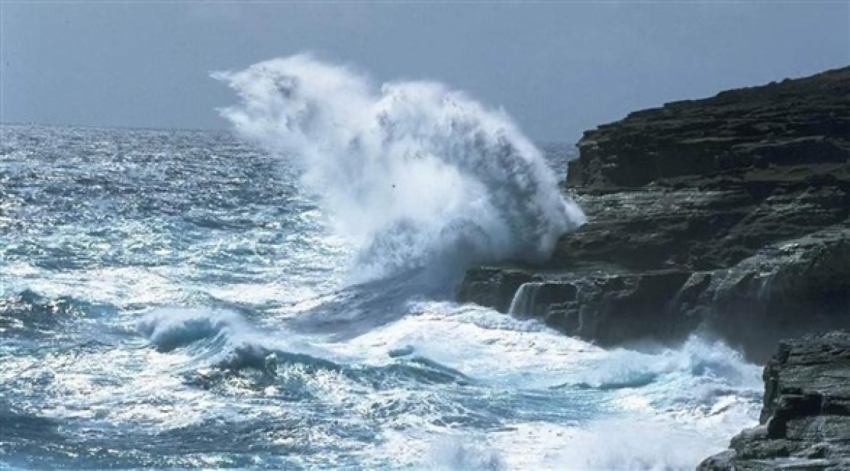
“Meteorology” warns of sea turbulence in Bab al-Mandab and the western Gulf of Aden
الناشر رئيس التحرير: مشعل الخبجي


On Tuesday, the National Center of Meteorology in Yemen warned fishermen and seafarers south of the western coast, the entrance to Bab al-Mandab and the western Gulf of Aden of sea turbulence and high waves.
Yemeni meteorology forecasts “relatively cool weather during the night and early morning over the northern governorates and partly cloudy during the day with the possibility of scattered rain that may be accompanied by thunder at times over parts of western Saada, Hajjah, Al Mahwit, Raymah, Al Bayda, and Ibb.” , Taiz and the west of Al-Jawf, Ma’rib, and Shabwa, and the highlands adjacent to the Tihama Plain in the afternoon and evening periods.
He pointed out that the weather is clear to partly cloudy on the western coast and the Socotra Archipelago, while it is partly cloudy with the possibility of light to moderate rain on parts of the southern and eastern coasts and the inland areas adjacent to them. Winds are active on the south of the western coast, the entrance to Bab al-Mandab and the western Gulf. Aden's speed ranges between (15-27 knots).
He indicated a clear to partly cloudy atmosphere with the possibility of scattered rain in the deserts of Al-Mahra and Hadramaut governorates. Winds are moderate to active, reaching a maximum speed of 24 knots, stirring up dust and sand.
He warned citizens in areas expected to rain to take caution and not be present in the depths of valleys and flood streams during and after the rain.
He also warned citizens in desert areas of the decline in horizontal visibility as a result of active winds that stir up dirt and dust.