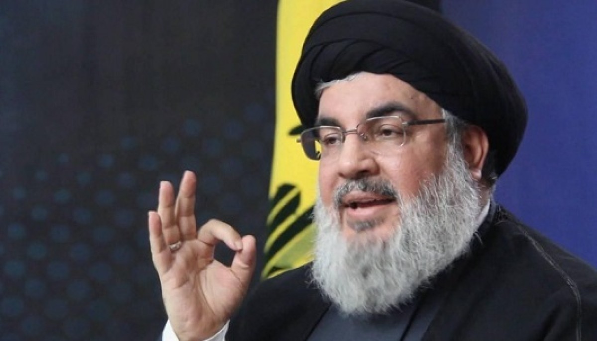
How did the occupation determine the exact location of Nasrallah?


While the assassination of Hezbollah Secretary General Hassan Nasrallah was announced on Saturday; The planning to eliminate him goes back years, during which the Israeli intelligence service (Mossad) collected valuable information from several sources.
According to Israeli security officials, the Mossad began planning to launch its latest operations against Hezbollah more than a decade ago, during which it studied the group's strengths and weaknesses and carried out a series of surprise operations on the ground.
Nasrallah and his companions’ underground movements
According to a report by the Israeli newspaper Yedioth Ahronoth: The intelligence information does not only indicate the underground movements of Nasrallah and his companions; It also determines the destructive power necessary to penetrate the fortifications and reach him in his hideout.
Location of the room and depth of the bunker
The newspaper said, “Intelligence information provided to the Israeli Air Force determined the exact location of the room in which Nasrallah met with senior Hezbollah leaders, as well as the depth of the hideout to which they were resorting to hold important meetings and develop plans in an attempt to repel attacks.” Israel".
The angles at which bombs should strike
The intelligence also allowed the Israeli pilots to calculate the angles at which the bombs must be struck, and the height from which they must be launched, to reach the part of the bunker where the “precious catch” is located.
3 main sources of information
According to Yedioth Ahronoth, this information could only be obtained through a series of intelligence operations over a long period of time, extending for years.
Where did Israel get this information?
According to the newspaper’s report, there are 3 main sources for this information:
Unit 8200 in the Israeli army, which provides military intelligence with accurate information through modern technological means.
Unit 504 in the Israeli army, which collects information from “human sources” on the ground.
Optical means used by the Israeli army to determine coordinates and locations; It relies mostly on drone flights over Lebanon. Especially the south and the southern suburbs of Beirut.